Industries
Environmental Monitoring
Remote Sensing For Field Intelligence
Industry Focus
Remote Sensing For Field Intelligence
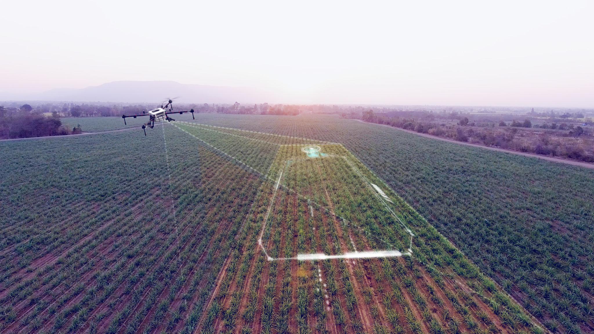
Hago supports environmental teams with drone mapping, remote sensing workflows, conservation documentation, and GIS-ready aerial data for field research and environmental decision support.
Key Capabilities
Environmental mapping
Remote sensing data capture
Vegetation and site documentation
GIS-ready outputs
Conservation technology support
Field reporting workflows
Suggested Applications
Conservation monitoring
Environmental site documentation
Land-use mapping
Field research support
GIS data collection
Next Step