Python
Development
Aerial Intelligence. Real Impact.
We design, develop, and integrate custom drone platforms focused on reliability, scalability, and mission performance.
Strategy
Drone Consulting
Insights
Data Intelligence
Autonomy
Automation Systems
Teams
Enterprise Training

We build scalable drone ecosystems powered by intelligent analytics and real-time monitoring systems.
Operational strategy first
Scalable aerial ecosystems
Real-time analytics workflows
Measurable business impact
Technology Ecosystem
Hago works across a modern drone technology ecosystem combining autonomous flight systems, simulation, computer vision, mapping, GIS, and mission planning tools.
Development
Autopilot
Simulation
Ground Control
Computer Vision
AI Detection
Flight Hardware
Edge Computing
Robotics Middleware
Enterprise UAV
GIS Platform
Photogrammetry
Mapping Workflow
Operational strategy and aerial integration planning for scalable drone ecosystems.
Transform aerial data into actionable insights, reporting systems, and enterprise dashboards.
Advanced autonomous workflows, live aerial monitoring, and intelligent reporting systems.
Professional UAV training for operational teams adopting modern aerial technologies.
Trusted by teams building safer infrastructure, faster field intelligence, and scalable aerial programs.
Smart Aerial Solutions
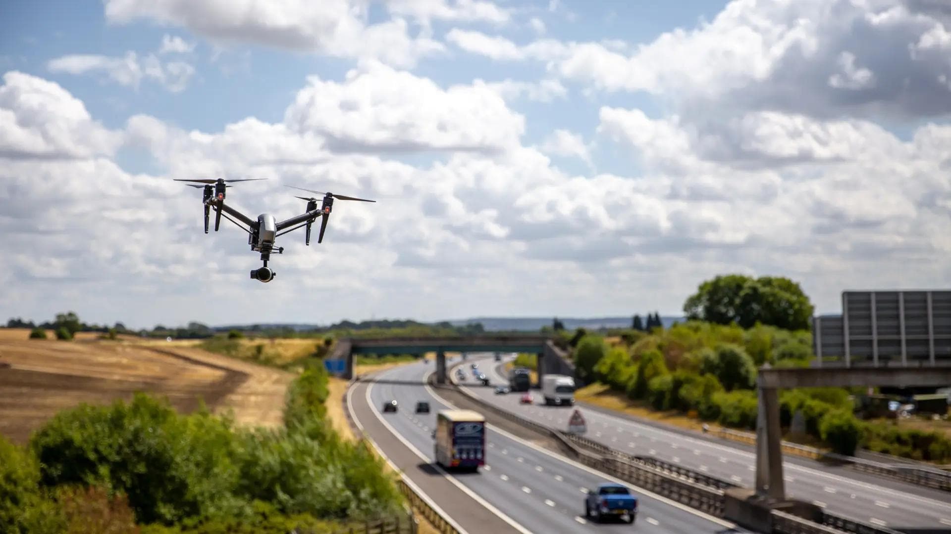
Monitor facilities, assets, and infrastructure with precision aerial systems.

Enhance situational awareness with live aerial intelligence and scalable surveillance workflows.
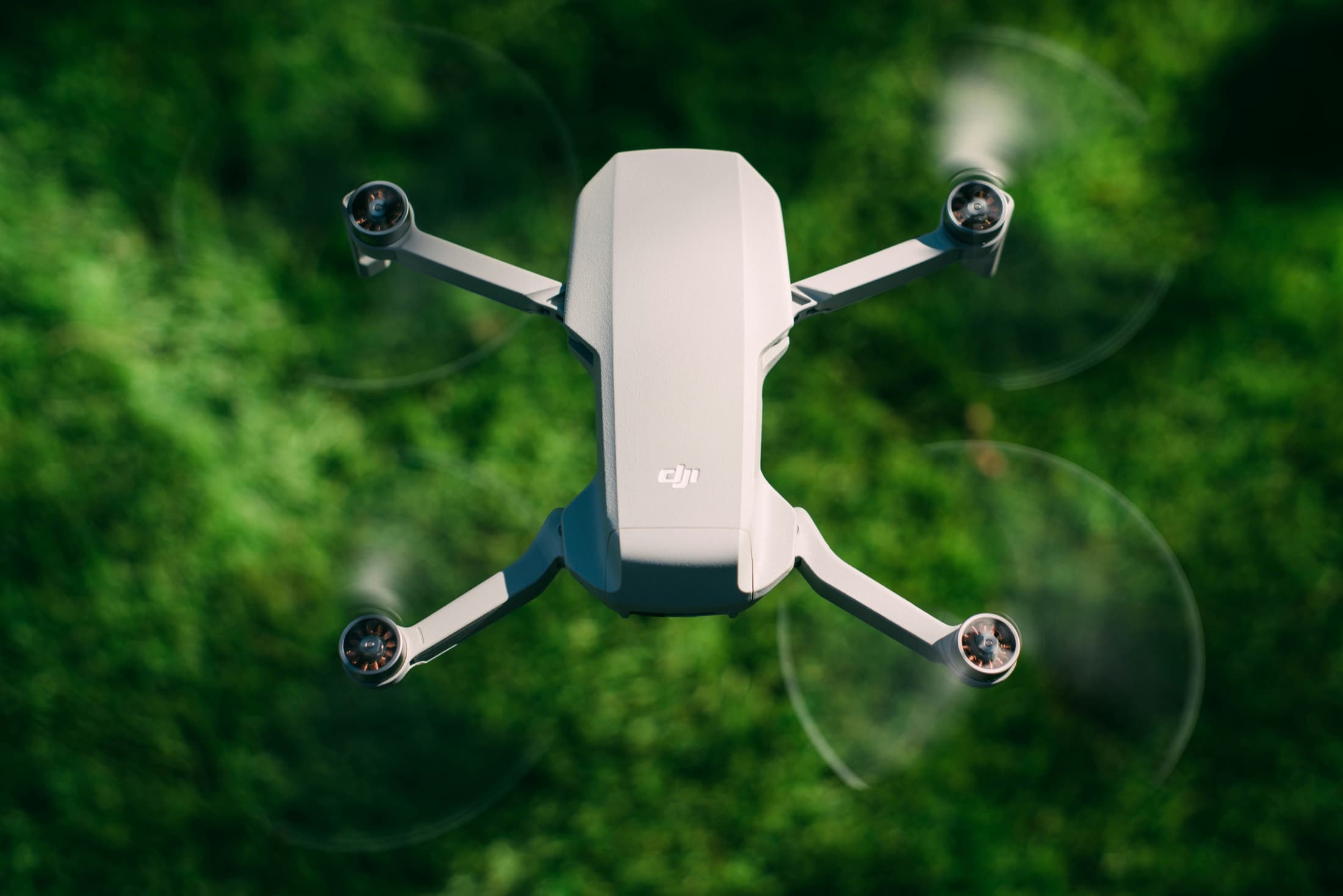
Generate accurate terrain maps and operational insights using aerial surveying systems.

Interpret aerial intelligence through advanced dashboards, reporting, and AI-assisted analysis.
Live
Operational Monitoring
AI
Aerial Data Intelligence
Auto
Workflow Automation
Team
Enterprise Readiness
Our Process
01
We evaluate operational goals, infrastructure, and business requirements.
02
We design a tailored drone solution and implementation roadmap.
03
We integrate systems, workflows, and operational support.
04
We continuously analyze and improve performance through measurable insights.
Fleet
Drone 01
Active operation
Area Coverage
2.45 km2
75% Completed
AI Detection
128
Objects detected
Mission Status
On Mission
Live monitoring
Operational Intelligence
Unified aerial data systems designed for fast decision making and scalable field operations.
Professional Development & Ongoing Training
Professional development across drone engineering, autonomous systems, GIS, environmental science, and unmanned aerial operations.
ASU
Completed
Edyoda Micro Degree
Completed
Edyoda Micro Degree
Completed
Alaska
Completed
Duke University
Completed
Industries We Support

Real Time Aerial Awareness
Drone workflows for security visibility, perimeter awareness, sensitive project support, and mission-ready monitoring.
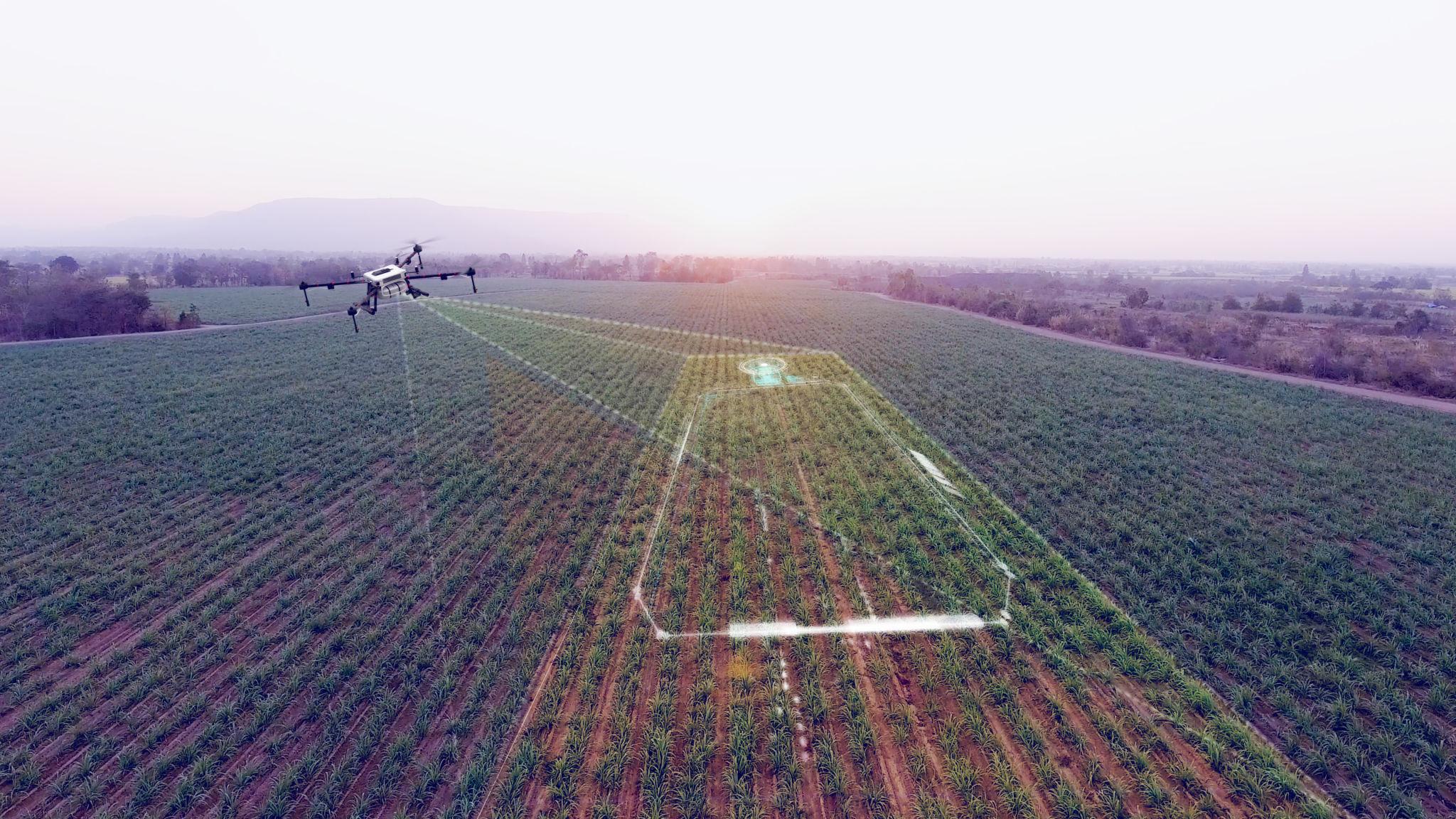
Precision Agricultural Systems
Precision aerial workflows for crop monitoring, spraying readiness, and farm intelligence.

Mining Site Visibility
Surveying, inspection, and site visibility for demanding mining environments.
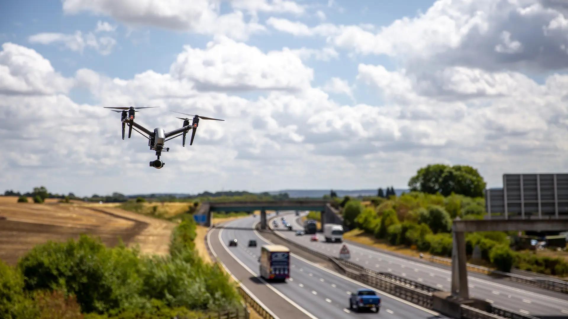
Project Progress Visibility
Progress monitoring, site documentation, and project visibility for active construction environments.

Energy Infrastructure Systems
Inspection workflows for solar farms, renewable energy sites, power assets, and energy infrastructure.
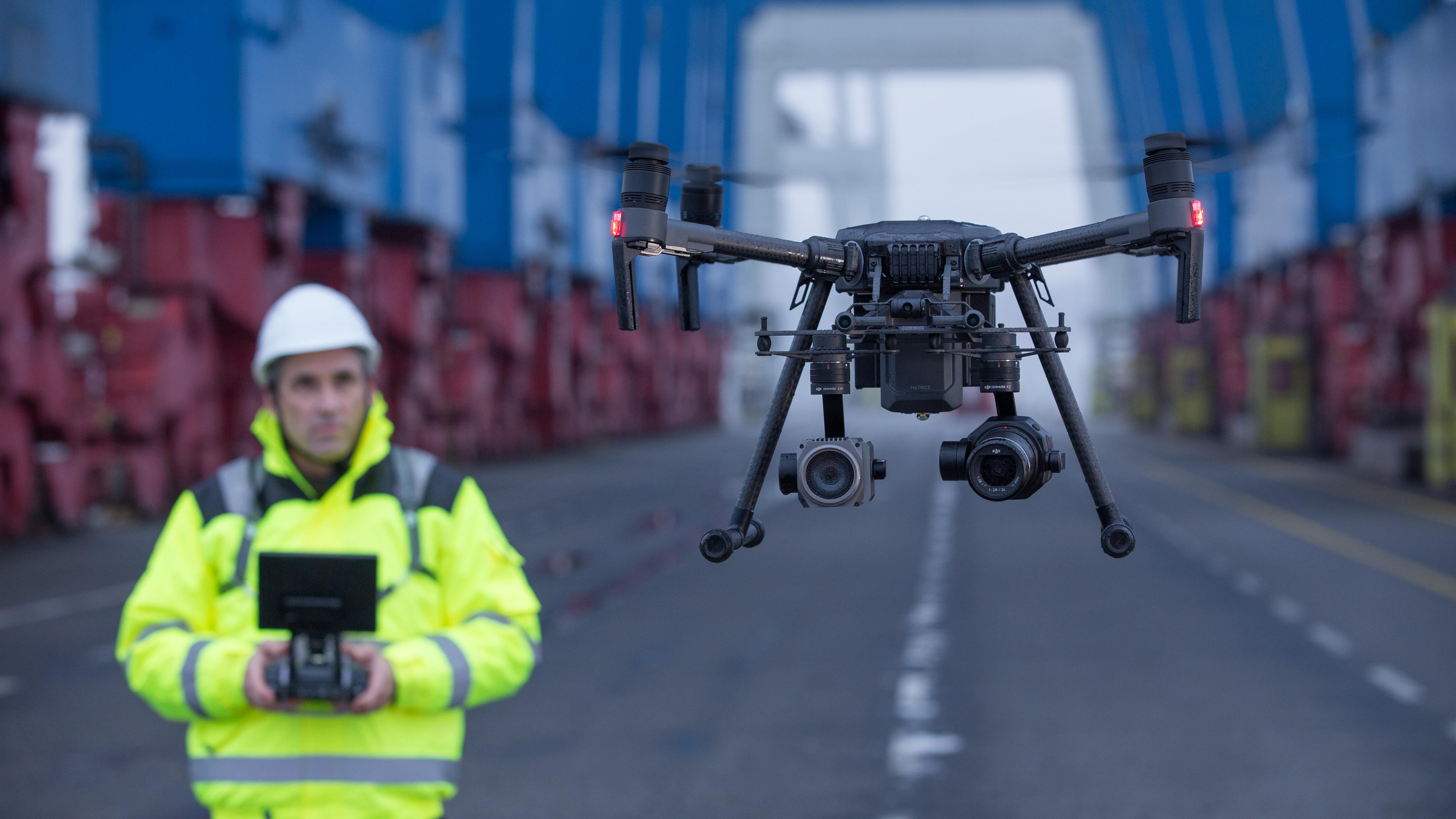
Remote Energy Operations
Remote asset visibility, site monitoring, and inspection workflows for energy field operations.
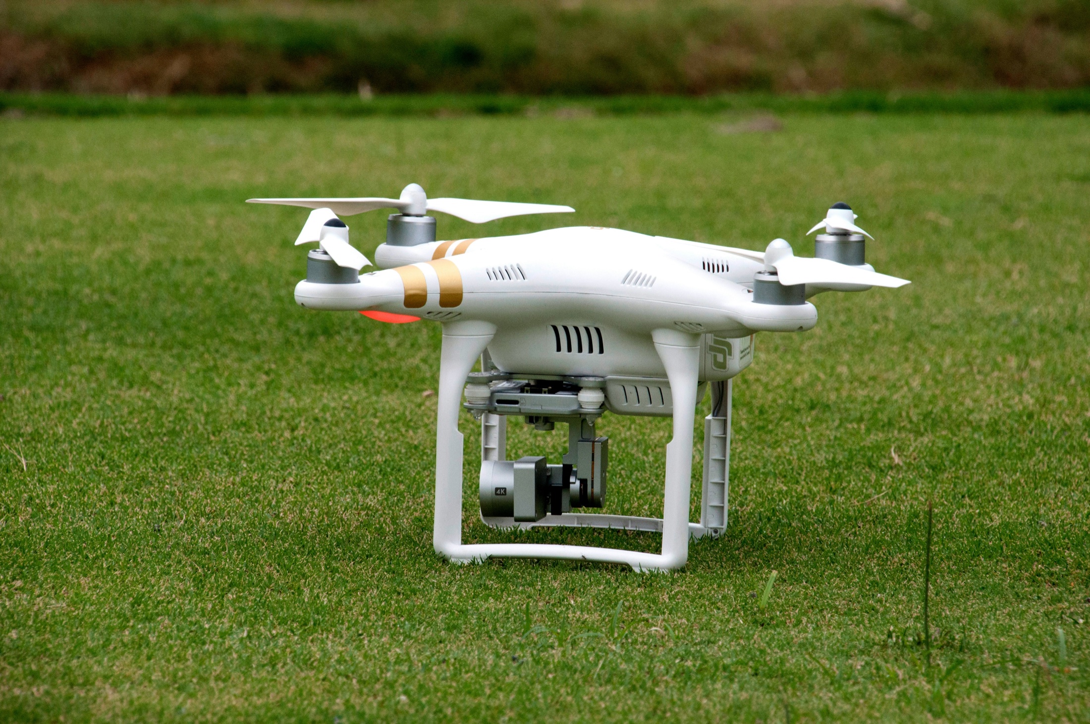
Infrastructure Risk Awareness
Safer inspections and asset visibility for facilities, transport assets, utilities, and operating environments.
Environmental Intelligence
Aerial mapping, remote sensing, and field documentation for environmental science and conservation teams.
Geospatial Intelligence
Geospatial data acquisition, orthomosaic mapping, terrain modeling, and mission-ready mapping outputs.
Rapid Response Visibility
Aerial awareness, emergency response visibility, and operational support for public safety environments.
Why Organizations Choose Hago
Advanced aerial systems, planning discipline, and measurable performance.
Enterprise-ready infrastructure, automation workflows, and repeatable operating models.
Data-driven operational visibility that helps teams move from aerial capture to decisions.
Security & Compliance
Project handling is structured around confidentiality, secure data practices, risk awareness, and careful documentation for high-sensitivity environments.
Capability Statement
Download a concise overview of Hago Drone Consulting's services, industries, technical capabilities, methodology, and project approach.
Client & Project Feedback
These cards use editable wording without fake company names or unverifiable claims.
“Khalid delivered a professional UAV assessment that helped us understand operational risks and deployment requirements.”
Project Stakeholder
“The technical planning was clear, structured, and useful for evaluating drone workflows before field deployment.”
Technical Partner
“Hago's approach helped translate aerial data requirements into a practical operating model for the team.”
Operations Lead
Let's discuss smarter aerial systems tailored to your operational needs.